NolaCycle is a project aimed to create a high quality cycling map of New Orleans. Cycling maps include information beyond just streets and their names that benefits cyclists. In our map, we highlight the pavement quality, car travel speed, lane width, and special caution areas (busy intersections, man-eating potholes, or high accident areas). Volunteers help to collect this data by attending mapping events.
The information is then digitized to make a map of the data we collected to help cyclists - young, old, local, and tourist alike - navigate New Orleans.

Check out the blog for updates on the project, ways to get involved, and volunteer mapping events!

If you have questions, feel free to make a public comment on the blog entry or e-mail us directly at info@nolacycle.com.

Saturday, April 30, 2011

where we actually went.

thanks for riding! 50 strong! let's help each other work on building the mass next week! the ride gets more and more awesome with each rider.

Friday, April 29, 2011

Critical Mass Ride! 6pm Jackson Square

come explore the new bike lanes, and ride the park! 12 miles, 3 hours

Monday, February 14, 2011

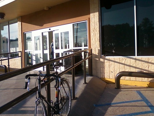
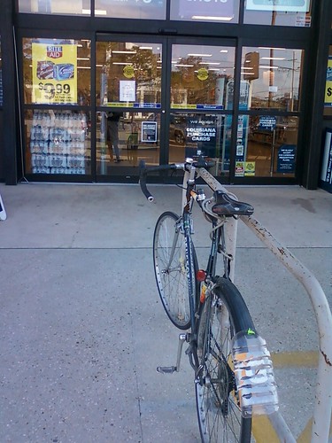
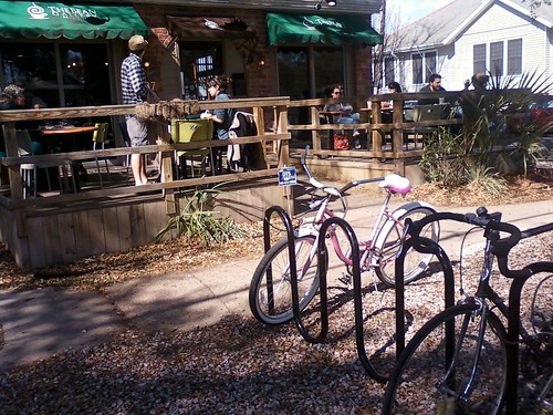
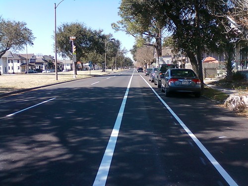
picture post: parking and lanes

No Parking at new Lakeview Grocery (Robert's)

Bike Parking at Lakeview Grocery

No Parking at Rite Aid

Bike Parking at Lakeview Grocery

Parking at Bean Gallery

Bike Parking at Bean Gallery

New Bike Lane on Orleans! updating the map...

bike lane on orleans